VT Line: granite anti-tank blocks, overgrown trenches and a military road on the Karelian Isthmus
There are places where military history is not displayed behind glass but simply lies in the forest. Here you don't need to buy a ticket, listen to a guide or hold on to a fence — you can walk this line on foot, and along some of its sections you are literally walking along the bottom of a trench. That is exactly what makes it compelling.
The VT Line is a defensive line that was built as a continuation of an already lost war and that is now so overgrown that the anti-tank blocks look like ordinary stones. Below is what has survived here, how this line differs from the Mannerheim Line, and how to get to the section on the route "From Orekhovo to Ladoga".
What the VT Line is
The VT Line is the Finnish defensive line Vammelsuu–Taipale, built in 1942–1944 on the Karelian Isthmus. It was the third line of Finnish defence and ran across the isthmus from the shore of the Gulf of Finland to Lake Ladoga. In June 1944 the Red Army broke through it during the Vyborg operation.
The name is decoded by its endpoints: Vammelsuu is present-day Serovo on the shore of the Gulf of Finland, Taipale is a settlement on the Ladoga shore. Hence "VT": Vammelsuu — Taipale. On maps its sections are labelled as VT-line.
It was built in haste and in a completely different situation from the Mannerheim Line: that one was erected over years in the 1920s–1930s, while this one was built when the war was already underway. That is why there is less concrete here, and the terrain and granite were used as the location allowed.
The line's structures have not disappeared or been hauled away over more than eighty years: they have gone into the forest. Concrete and granite have grown over with moss, the trenches have silted up with pine needles and turned into folds in the terrain, and the roads between positions have become trails.
Anti-tank blocks: granite against tanks
Anti-tank blocks are what is worth coming here for. Their task was simple: to stand in a tank's path. A row of large granite boulders placed close together does not let a vehicle pass between them, and equipment can no longer demolish such a rampart — there is no way against such ramparts.
Everything is made of granite, and this is not a random choice: the stone is local, it did not have to be brought from afar, and its strength is such that the boulders still stand in their places. The Karelian Isthmus is granite throughout, so the material lay literally underfoot.
The blocks were not placed singly but in a chain — along the road, on the approaches to positions, where equipment could have passed. It is precisely such a chain that can be read today: road on the left, anti-tank blocks on the right, one after another, with gaps through which neither a tank nor a truck can squeeze.
Only now they block nothing — they simply lie along the road, grown into the ground, covered with moss and lichen. The edges have smoothed, and ferns have grown between the stones.
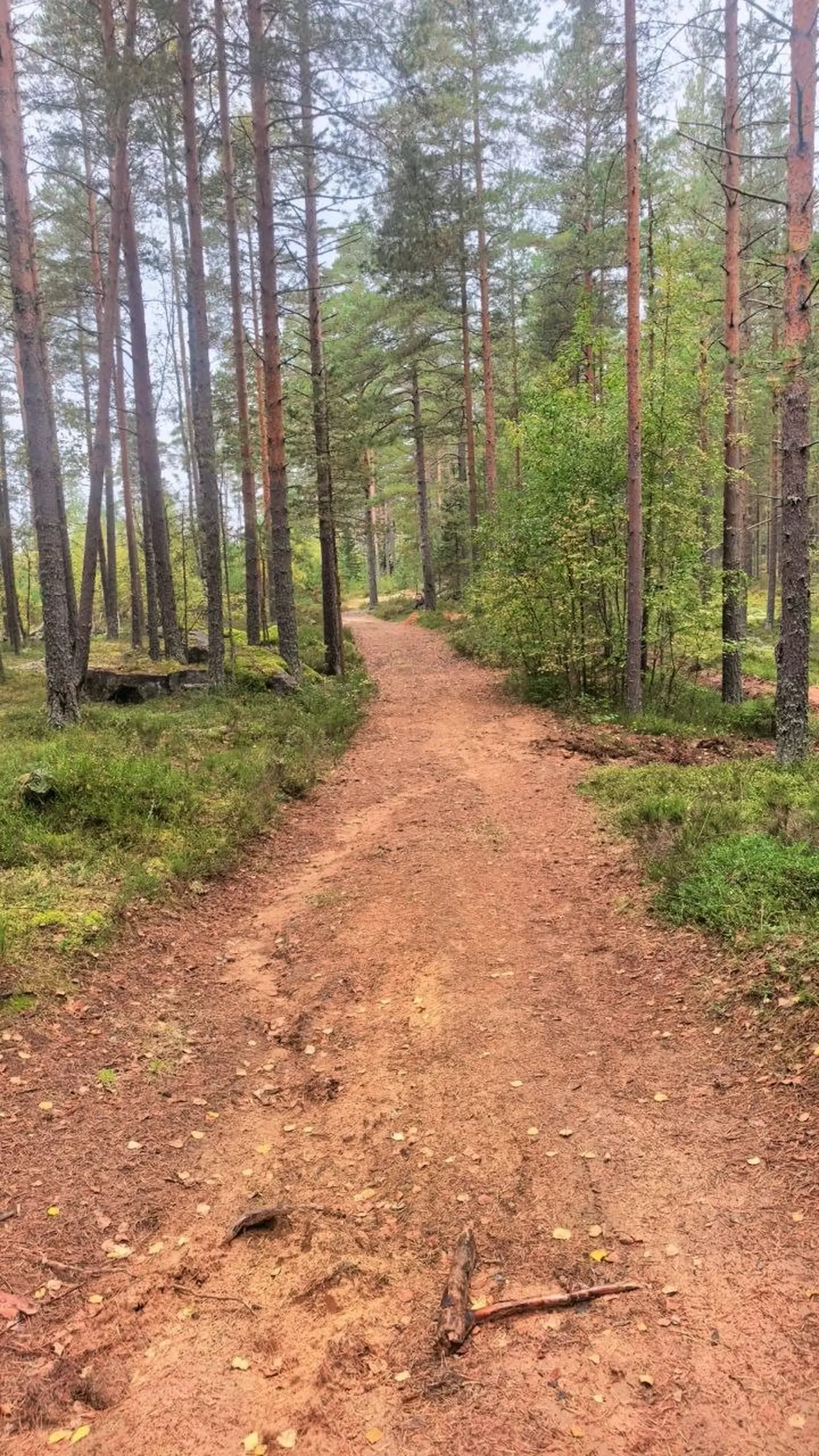
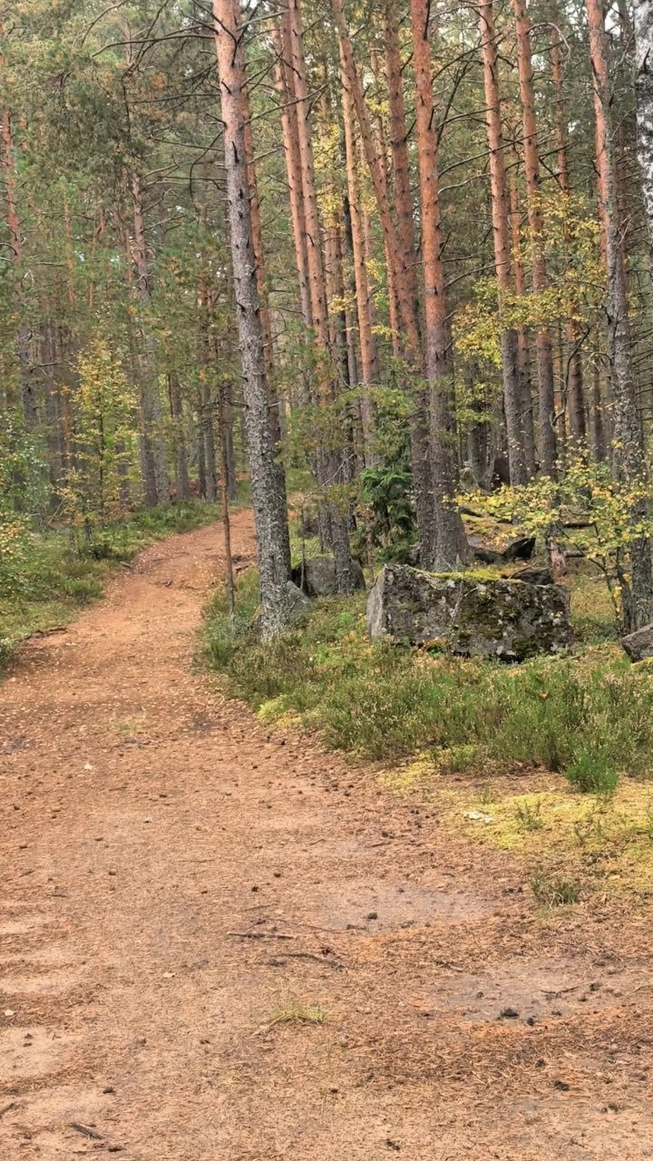
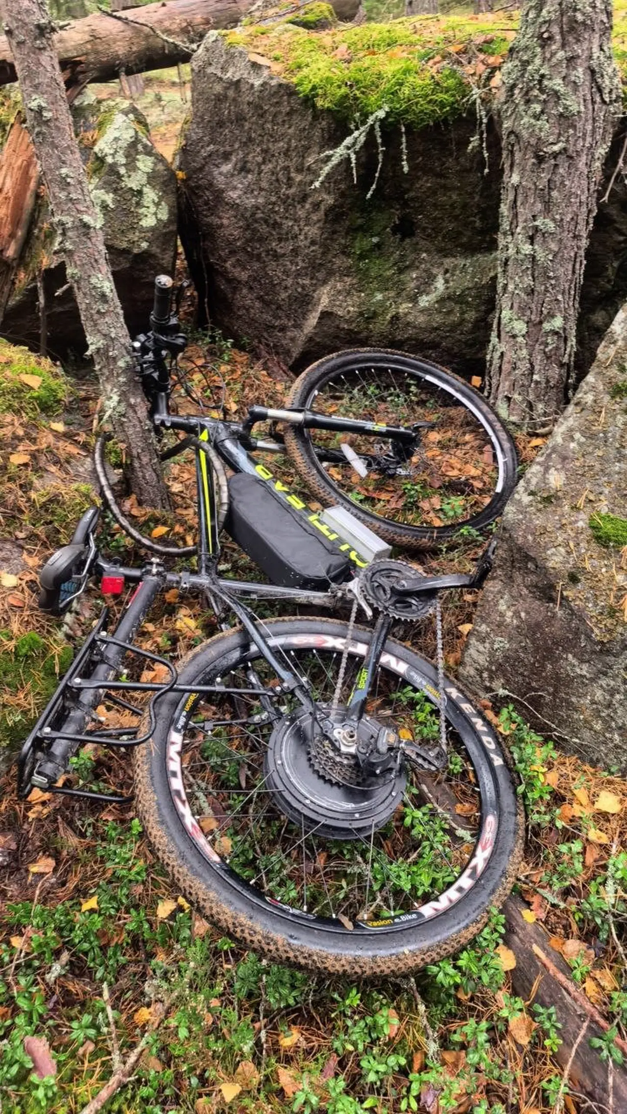
Over the years the blocks have become just stones in the forest. And this, oddly enough, is the only time when they are of use to a walker: you can leave a bicycle between the boulders and go on foot. Previously these blocks served to block a tank — now they serve no function, and in this area you can hide a bike and go wandering through the overgrown trenches.
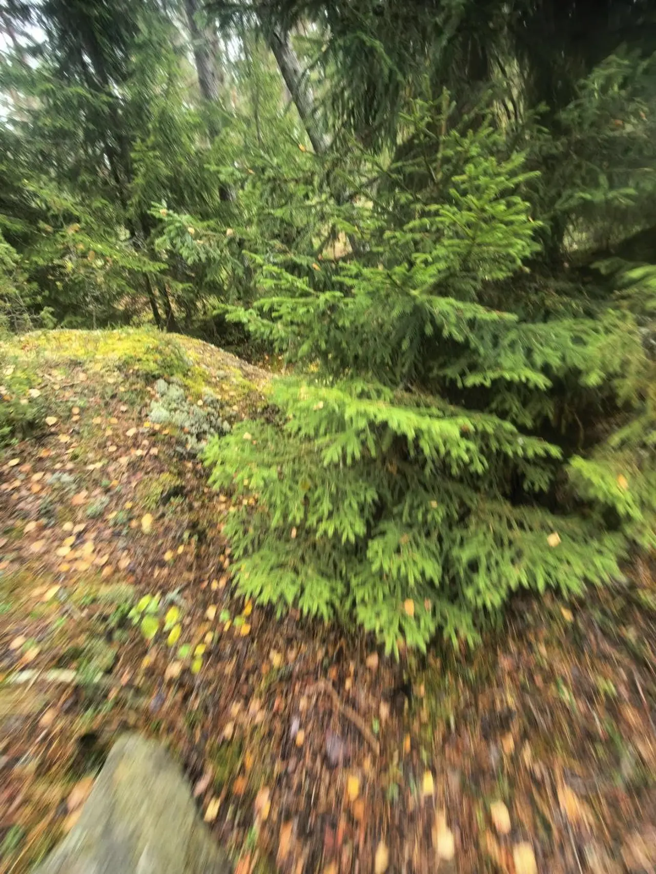
Trenches you can walk through
The trenches here have overgrown and slumped, but have not lost their shape: parapets, walls and the bends of the trenches can be made out. You can walk along them — and this is not an attraction but an ordinary forest walk.
Do you want to feel like a person walking through trenches? Here that is possible without any reservations. The state protects these areas from fire, and the trenches are used as firebreaks — people walk along them, and this is generally such an imitation of trenches, because nature presses very close.
A trench is not a pit but a structure with logic. At the edges are ramparts of excavated soil, parapets behind which people took cover; the bottom is the depth of a human height or slightly less; the walls are smoothed by time and slides. That is precisely why a trench is convenient to walk along: it is a ready-made trench, just without flooring and without people.
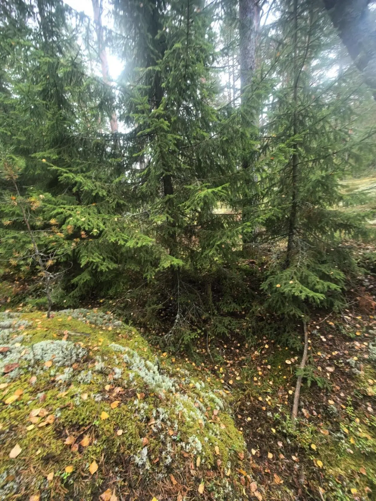
The trenches intersect with roads that have now also become trails — fortunately, pedestrian ones. The forest advances from all sides: spruces grow from the parapets, the bottom is covered with pine needles and moss, and every year the terrain becomes softer.
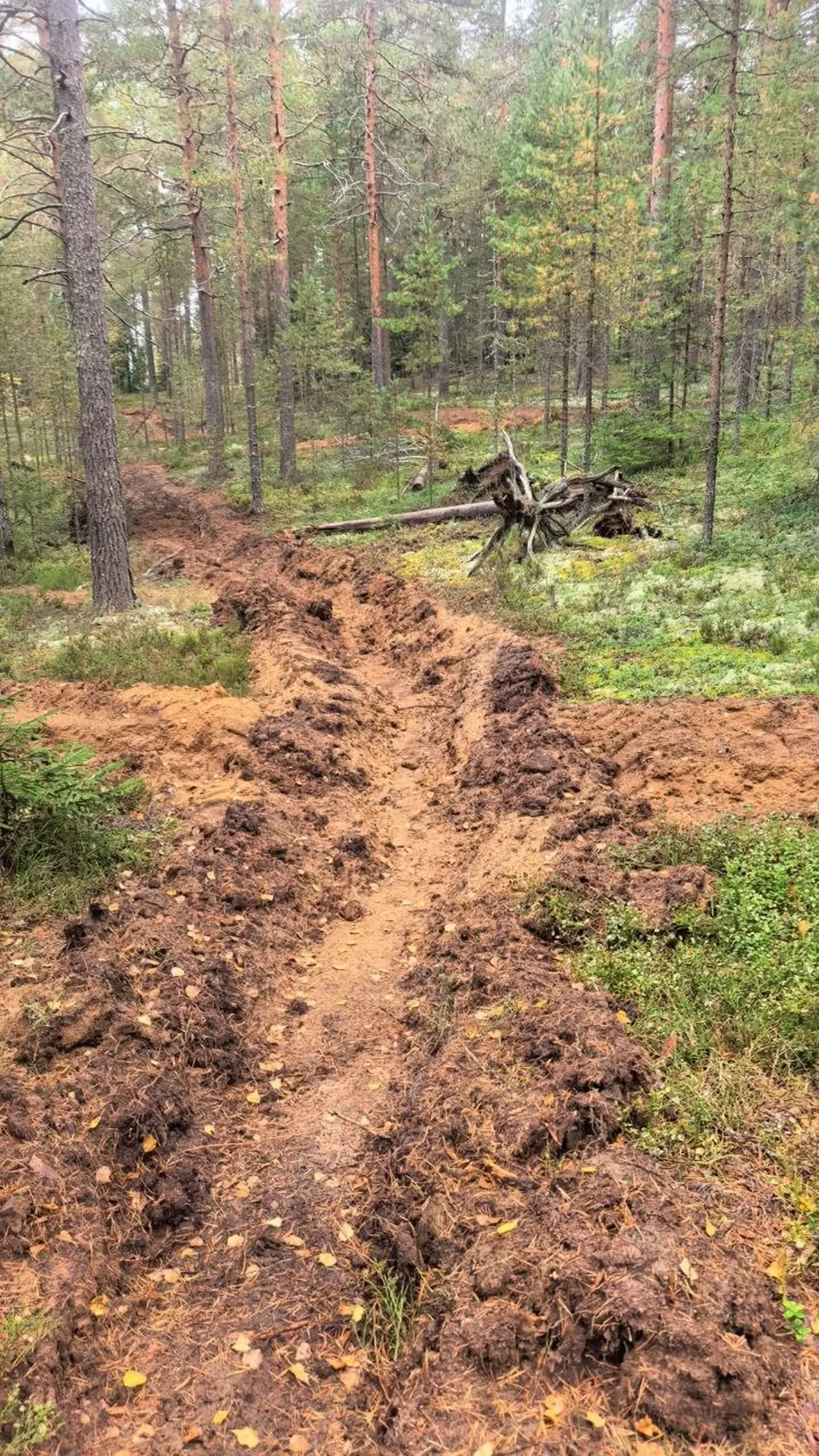
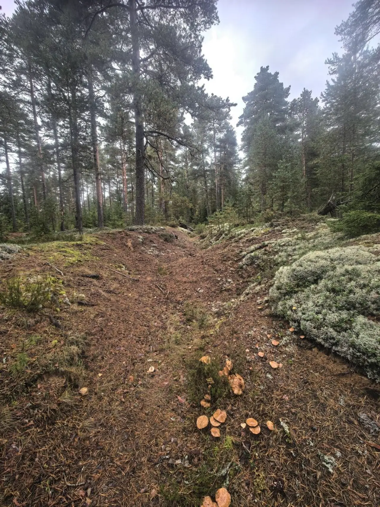
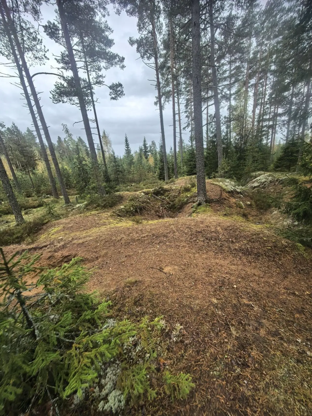
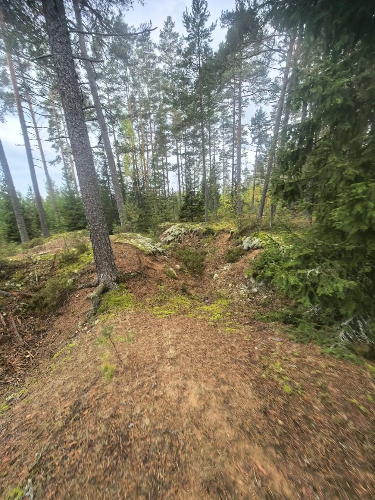
The trenches are more than eighty years old. They look not like a fortification but like a fold in the ground that you want to step over — and only then do you realise that it is a full-height trench, only half filled in by time. Mushrooms are found at the bottom: it is damp and dark there, and fallen pine needles lie in layers.
Control point at the road crossing
The most expressive place on the section is the positions at the road crossing. Here there was a conditional control point: it is trenched on all sides and faced with stone on all sides. The ring of fortifications around the crossroads can still be made out, although all of it has overgrown and slumped.
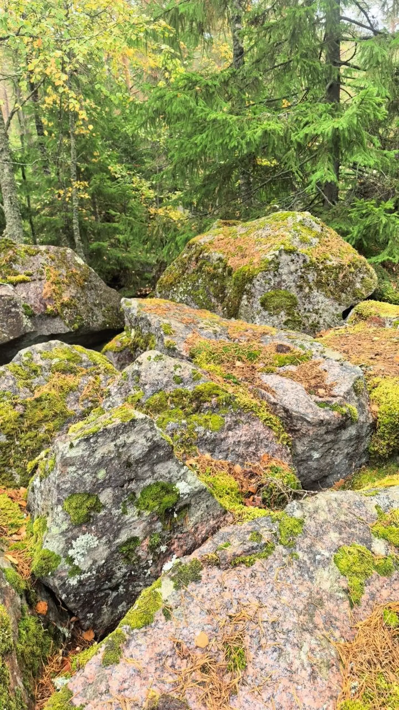
On all sides — stone, on all sides — trench. Such points were placed where roads converged: whoever holds the crossroads holds movement through it. The logic is simple and understandable even without explanation: approach such a place and walk around it in a circle — whichever side you come from, a rampart and a trench will be in front of you.
Blown-up bunker
A separate point is the blown-up bunker. The concrete block is chipped from above and tilted, rubble is visible through the mass, and there is later graffiti on the side face. What exactly it was cannot be made out: nothing remains of the interior spaces, everything is covered with earth and pine needles.
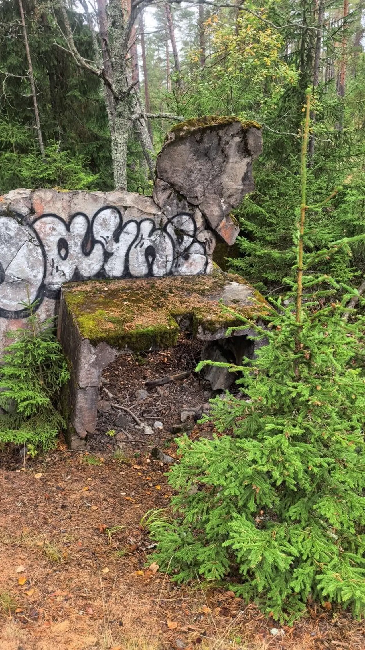
Around the bunker the ground is dug up: these are the already mentioned trenches approaching the position. Such points were usually blown up first — so that the enemy could not use them.
Tractor trails that are not on the map
A separate pleasure is the firebreak clearings cut through the forest by a tractor. You can walk along them, and this is stronger than an ordinary road: they give passages into the depths of the forest that are not on any map.
Unfortunately there is no map of these trails — which makes the walk more interesting. The ideal scenario: leave the bicycle by the anti-tank blocks, take water and walk along a clearing or along a trench until you have had enough, then return the same way.
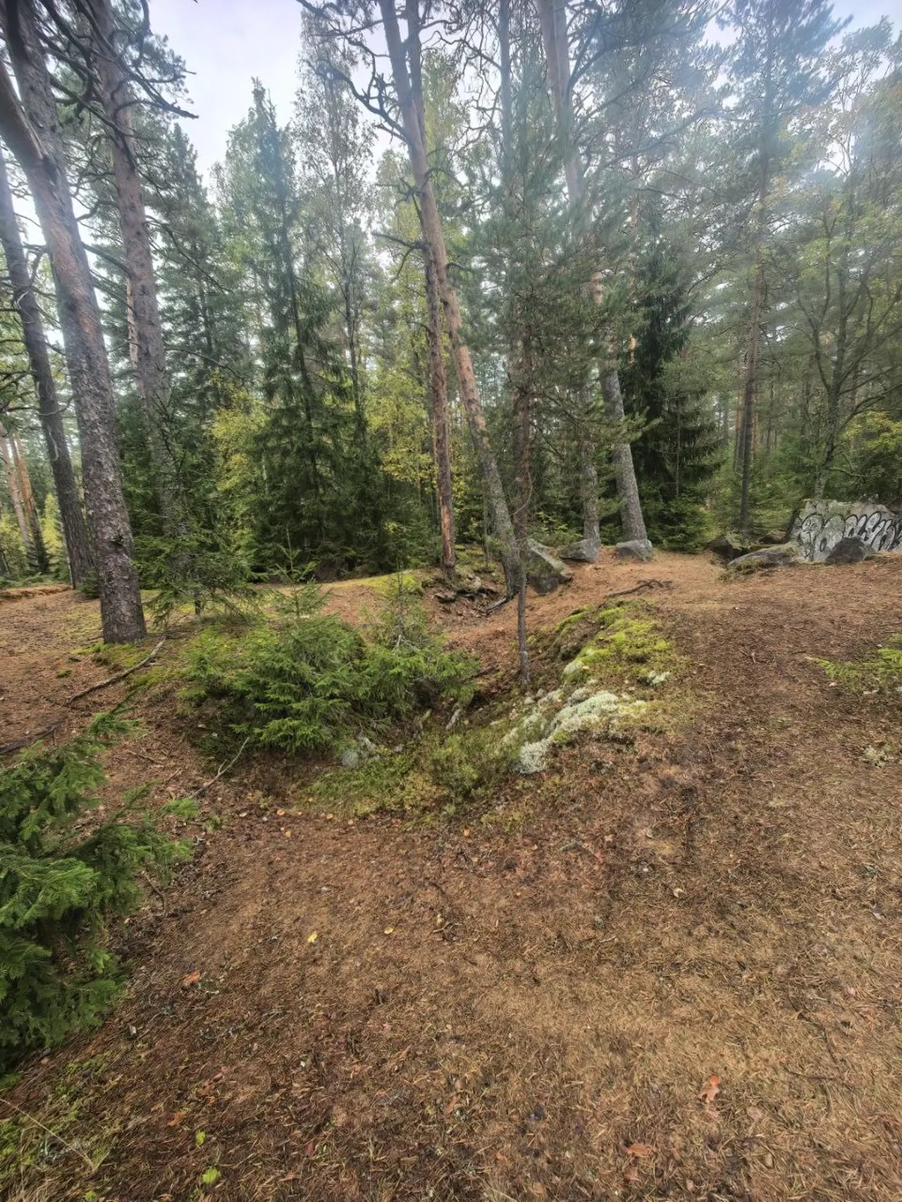
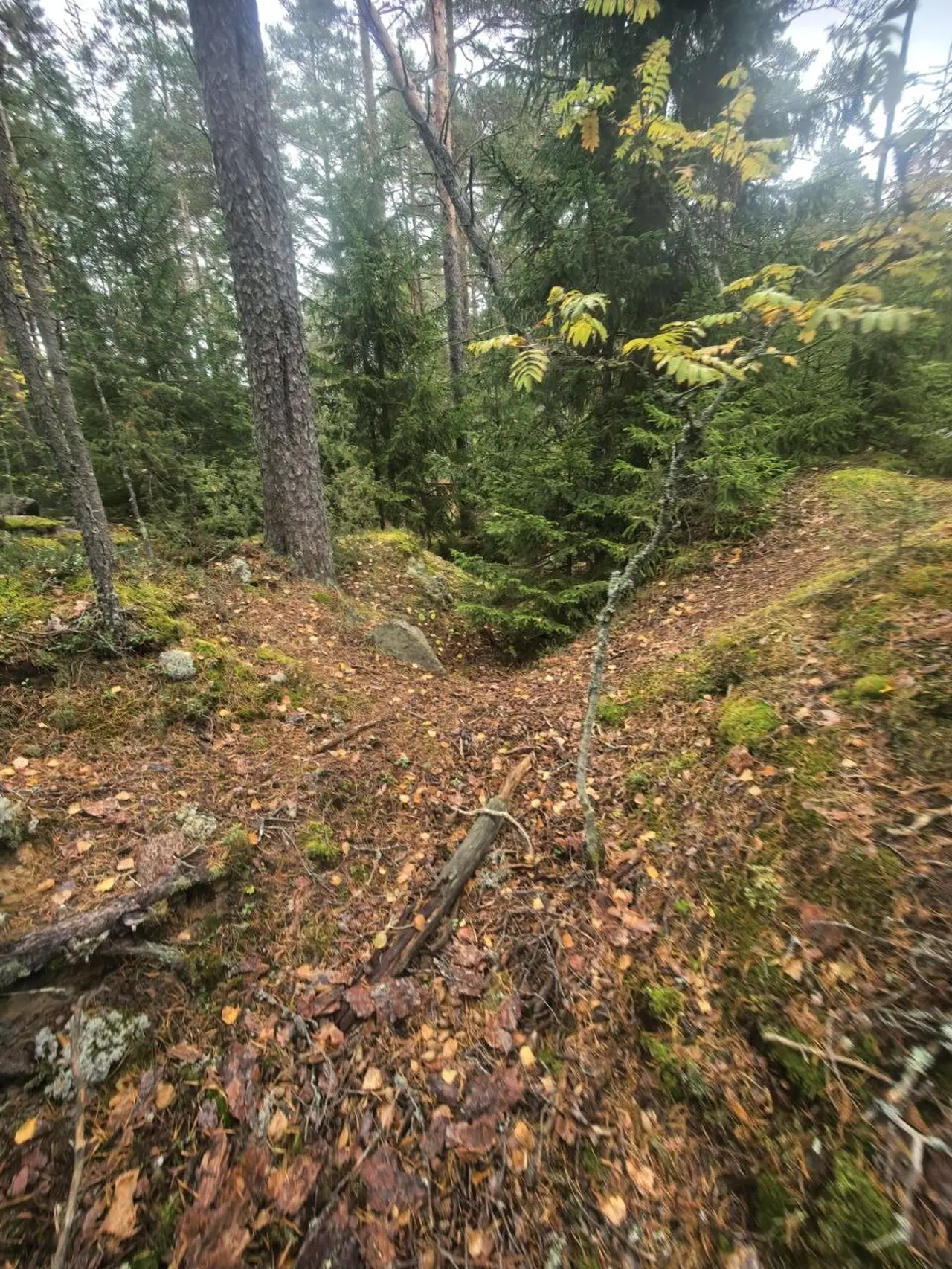
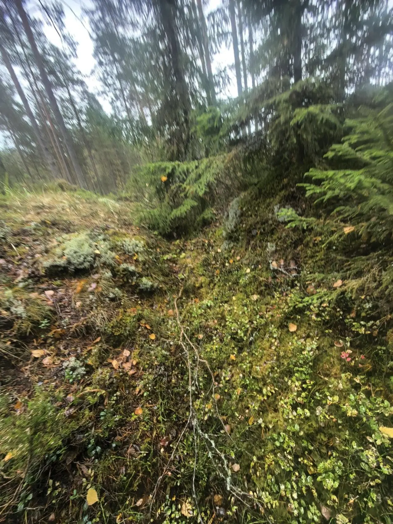
In such a situation it is not a map that helps you navigate but the logic of the terrain: the anti-tank blocks run along the roads, the trenches run across and along the defence line, the clearings run in straight lines between forest tracts. If you stick to this logic, it is hard to get lost.
VT Line and Mannerheim Line: what is the difference
These are two different lines, and they should not be confused — especially since they are most often asked about together.
The Mannerheim Line was the main Finnish defensive line on the Karelian Isthmus, built in the 1920s–1930s and breached by the Red Army in February 1940 during the Winter War. It ran from the Gulf of Finland to Lake Ladoga, and its remains are the best-known military sites of the isthmus: pillboxes, casemates, concrete boxes grown into the ground.
The VT Line is a later line, of 1942–1944, built already during the Great Patriotic War. It acquired the name "third line of Finnish defence", and it was breached in June 1944, during the Vyborg operation.
Both lines run across the same isthmus, but along different routes. If there is no plaque on the stone or concrete, it is almost impossible to determine the affiliation of a position by eye — therefore, while walking through the trenches, it is better to know in advance which line's section you are walking. The difference is in the details: the Mannerheim Line has more concrete pillboxes and permanent structures, while the VT Line has field positions, trenches and anti-tank obstacles made of whatever stone was at hand.
Where this section is located
The section lies within the corridor of the official route "From Orekhovo to Ladoga" — this is a Leningrad Oblast route 90 kilometres long with options from 12 to 77 kilometres in a single outing. The overall thread: Orekhovo station — Orekhovsky nature reserve — lakes — Ladoga coast — Dalekaya Bay — Nikitino stop.
Coordinates of the route's key points, between which the VT Line positions lie:
- Orekhovo station — 60.46444, 30.26114
- Osinovskoye lake — 60.50867, 30.27171
- Shchuchye lake — 60.52550, 30.32698
- Orekhovsky nature reserve — 60.49340, 30.35745
- Nikitino stop (69 km) — 60.50663, 30.23948
- Dalekaya Bay and Banny Mol — 60.5694, 30.6824
GPS did not save the shooting point of these frames, and it is worth saying honestly: anti-tank blocks and trenches are found throughout the route, not in one place. The marking on the route is red-white-red, but it is absent in populated areas, so the track must be downloaded in advance. At the stand by Orekhovo station four options are posted: 28, 30, 65 and 90 kilometres.
How to get there
By commuter train. From Finlyandsky station (metro station "Ploshchad Lenina") on the Priozersk direction to the stop that is designated in timetables as "Nikitino (69 km)". The journey takes 1 hour 31 minutes — 1 hour 35 minutes on a regular train and about an hour on the Lastochka. Trains run roughly every 25–60 minutes, about 30 stops per day in each direction, including two or three Lastochkas.
A single ticket Nikitino — Saint Petersburg costs 265 ₽ on a regular commuter train and 297 ₽ on the Lastochka. Season tickets are noticeably more advantageous for regular travel: 5 days — 2,385 ₽, a month on weekdays — 9,461 ₽.
With a bicycle. Carrying a bicycle on suburban trains costs 65 ₽ within Saint Petersburg and 48 ₽ within Leningrad Oblast, regardless of the distance travelled. But with a season pass the bicycle is carried free — the receipt for the season pass is mandatory.
By car. From Saint Petersburg along the Priozersk highway (A129) or along the A121 "Sortavala" road to the settlement "Platform 69th km": the settlement lies to the east of A121, the platform is next to it.
Separately about the name: in October 2024 the stopping point "69 kilometre" was officially renamed "Nikitino" — by order of Russian Railways. Until 1948 this place was called Kelliö. In old timetables and on many maps it still appears as "platform 69 km", so it is worth checking both names when searching. There is no separate settlement of Nikitino at the platform: the settlement is called "Platform 69th km".
There are two platforms here, side platforms, 210 metres long, with a level crossing over the tracks. On the platform towards Saint Petersburg there is a canopy and a bench. There is nowhere to buy food by the platform — shops are in Orekhovo, Pyatirechye and Zaporozhskoye, that is, along the route.
What to see nearby
Orekhovsky nature reserve — a state natural complex reserve with an area of about 9 thousand hectares, within whose boundaries a significant part of the route passes. Sandy roads, pine forests, lakes, bilberries and heather.
Shchuchye lake — a lake with equipped camping places and swimming. The water is clean, comfortable for swimming until the end of August, and in a warm autumn — until October.
Dalekaya Bay and Banny Mol — the final and strongest point of the route. Banny Mol is a dam of giant granite boulders that begins at the base of the Daleky peninsula and extends 560 metres into the waters of Lake Ladoga. Built in 1930–1934, at its tip there is a lighthouse, which you can climb by a staircase without railings. Around the bay there are sandy beaches, and the bay itself is sheltered from most winds — which is why it has long been used as a mooring place.
Video from the site
Six seconds on the VT Line military road — silent loop.
Route map
- — Commuter train from Finlyandsky station, 1h20m
- — Lake inside the Orekhovsky reserve
- — Camping and swimming spot
- — Protected area of Leningrad Oblast
- — Finish: train back to the city
- — 560 m granite dam with a lighthouse, 1930–1934
Points from OpenStreetMap. VT Line positions occur along the whole route rather than in one spot: the camera saved no GPS tag for these frames. Maps — © OpenStreetMap contributors.
Note on the name: in October 2024 the "69 kilometre" halt was officially renamed Nikitino.
FAQ
Where is the VT Line?
On the Karelian Isthmus in Leningrad Oblast. It ran from the Gulf of Finland shore at Vammelsuu (now Serovo) to Lake Ladoga at Taipale. Sections survive in the forests of Priozersk and Vyborg districts, including along the Orekhovo–Ladoga route.
Can you actually walk in the VT Line trenches?
Yes. The trenches have silted up but keep their shape, and you can walk through them. Some are used as firebreaks, which is why they never fully overgrow.
Is this the Mannerheim Line?
No. The Mannerheim Line was built in the 1920s–30s and was breached in February 1940. The VT Line is a 1942–1944 line, breached in June 1944. Different routes on the same isthmus.
What are the obstacles (nadolby)?
Anti-tank barriers: rows of stone or concrete blocks set so vehicles cannot pass between them. Here they are built of granite and lie in a chain along the old military road.
How much does it cost to get to the route?
A single ticket from Saint Petersburg to Nikitino is 265 ₽ on a regular commuter train, 297 ₽ on the Lastochka express. A bicycle costs 65 ₽ inside the city and 48 ₽ in the region.
What is the Banny Mol?
A dam of giant granite boulders in Dalekaya Bay, built in 1930–1934, 560 metres long, with a lighthouse at the end. It is the final point of the route.
Do you need a bike to see it all?
Not necessarily, but a bike makes getting to the section easier. You can leave it between the anti-tank blocks — they still stand close enough together.