Lava River Canyon: a weekend route by train and bike
In the morning I was too lazy to cook camp food. Not that I'd forgotten how — it had just gotten boring. So the route started not with a stove but with a shawarma. And as it turned out, that was the right decision.
There are places you go to for the "picture," and there are those that overturn your idea of your own region. The Lava River canyon is one of the latter. Four kilometres from the railway station, in the middle of the absolutely flat Leningrad Region, a cliff the height of a nine-storey building suddenly opens up, with a real mountain river running along its bottom. For a Petersburg resident used to the plains, it looks almost implausible.
How to get there
It's simple: Ladozhsky station, the Lastochka train, Zhikharevo station. The station is right in the settlement of Naziya — the very place where the route begins. It's about an hour and a half from Petersburg, and a bicycle fits comfortably in the carriage: a black MTB with a battery, a backpack on the rack — everything arrived without incident.
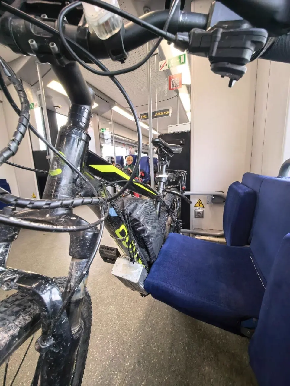
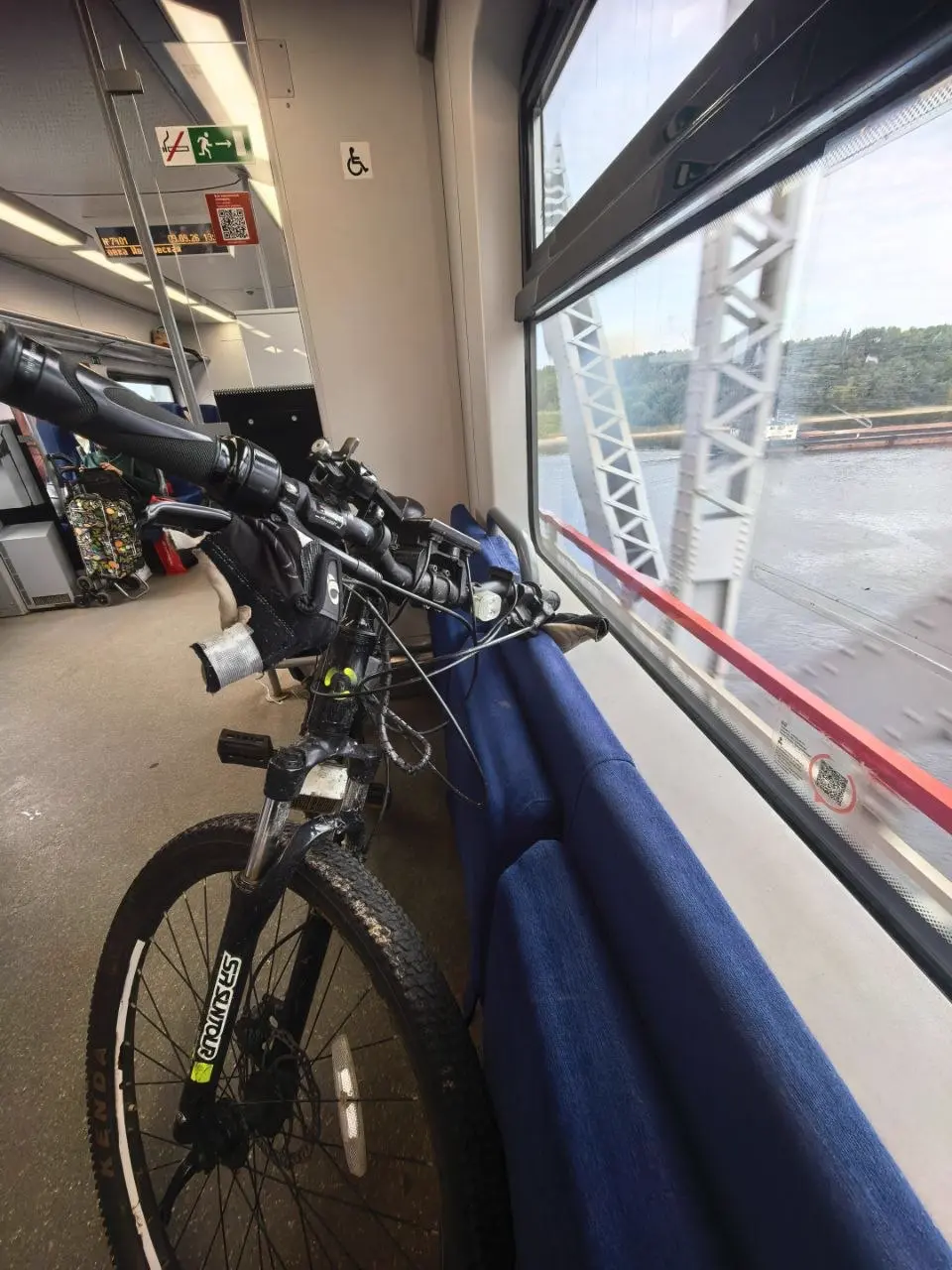
Along the way the train crosses the river on a white truss bridge — the first "picture" of the route opens up right from the window. From the station to the canyon is about four kilometres north. The road is simple: asphalt first, then cobblestone and dirt. The elevation change is almost zero, so the ride is comfortable even for someone who rarely turns the pedals.
The settlement of Naziya — a pleasant surprise
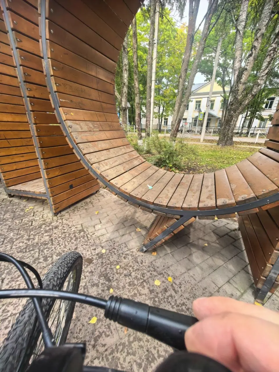
Naziya surprises from the first minutes. It's a place that's actually looked after: houses are painted, yards are tidy. Two-storey concrete buildings stand next to mud-walled cottages, and somehow the combination looks fitting. There's a sculpture, there's infrastructure, and the playgrounds are modern, "like in the capitals," with soft surfacing. You can see the settlement is cared for, and it's pleasant to be here.
There are two key points for the trip. The first is Pyaterochka, where you can top up on water and food. The second is the shawarma. There's only one here, but the vendor is pleasant, and the shawarma itself is just what you need before the road. In fact, that's how it all started: instead of morning cooking — a proper shawarma and off we go.
The road by bicycle
Along the way there's a lot of aspen grove, and it's unusually beautiful here: aspens of various sizes, with maple showing through between them. The road goes through forest, and in places you can hear passing cars — the motor road runs alongside the trail. On a weekday there are almost no cars.
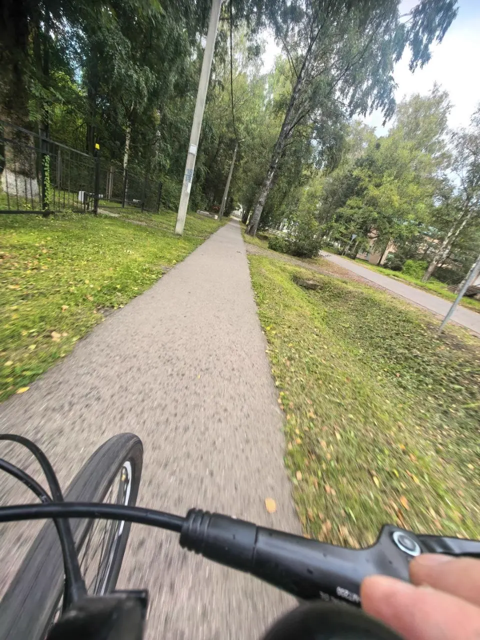
The climbs along the route require effort, but they're all in the forest, in the shade. And the canyon itself doesn't greet you right away — first forest, then a clearing, and only then do you realise where you've ended up.
The canyon: carved into the plain
The main thing to understand about this place: the canyon is carved into a plain. All around is absolutely flat terrain, fields, forest, and under your feet a cliff suddenly yawns open. These aren't mountains or hills — it's a real canyon that the Lava River cut through the hard limestones of the Putilovo Plateau.
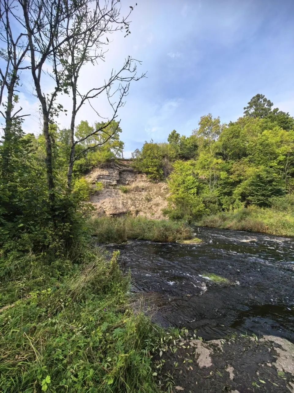
The viewpoints here are natural: you walk up to the edge, and an almost vertical slope drops away, and at the bottom, some thirty-five metres down, a river runs with a strong current. It looks cinematic — the landscape grabs your eye at once. In places it even becomes uneasy at the edge: the slopes are big, sheer, and approaching the very brink is scary. But that's exactly why people come here.
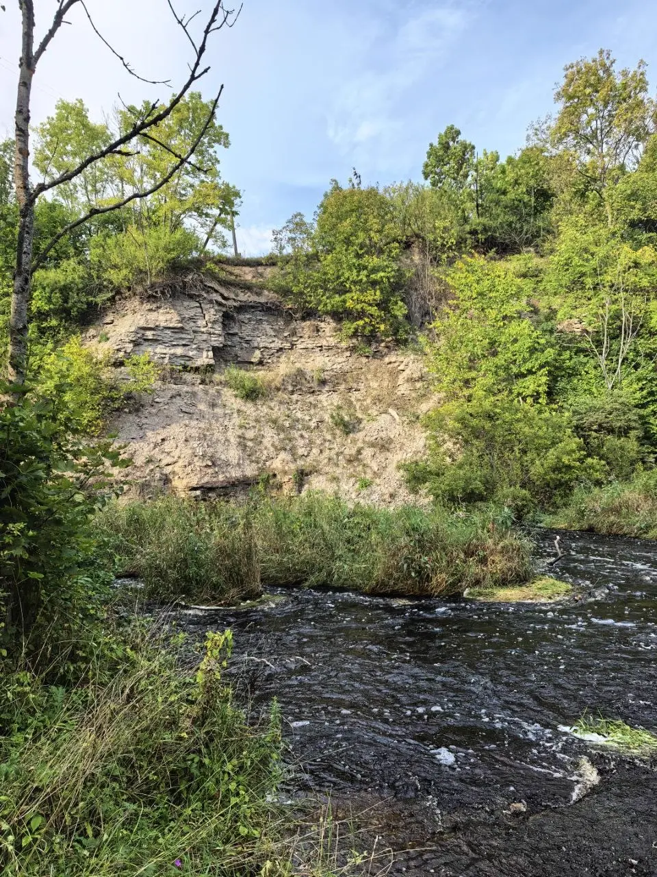
If you, like me, grew up among plains, this sight throws you off balance. Someone who lives in the mountains would probably shrug: for them it's a native landscape. But for a Petersburg resident, where the only "elevations" are embankments and bridges, the Lava River canyon is an event. Someone two hundred years ago, with no access to pictures from around the world, seeing this, would surely not have believed their own eyes.
The trail: stairs and a squirrel
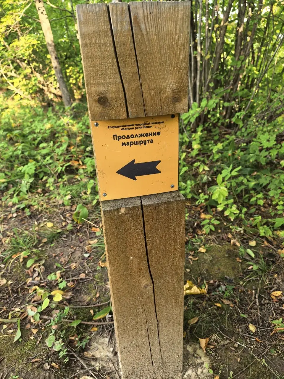
The eco-trail was built in September 2024, and you can feel it: the route is linear, 3.5 kilometres one way, marked with yellow arrows on posts and white-and-red marks on trees. You can go down into the canyon and back up by wooden stairs — and for those who don't like stairs, an ordinary path runs alongside. So "stair-deniers" won't be left out.
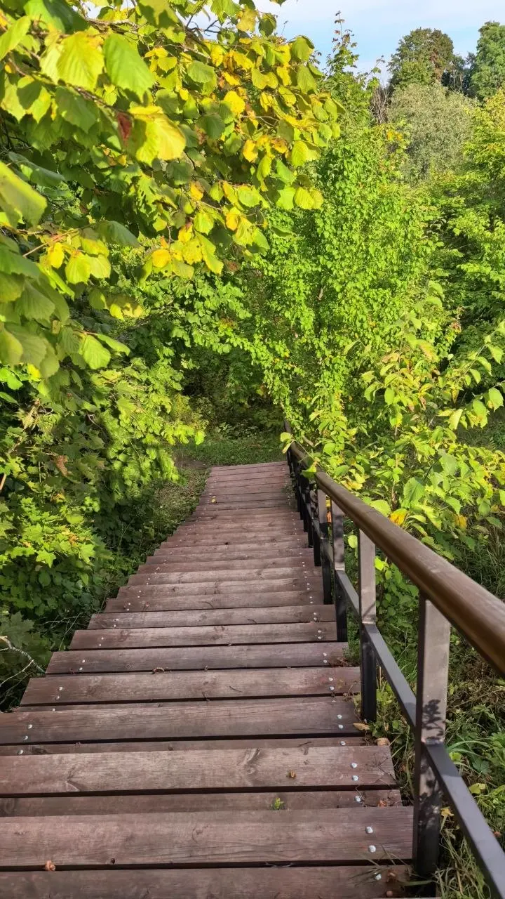
A squirrel was spotted on the trail — a wild one, which at the sight of a person immediately dashed up a tree. A small thing, but it sets the right mood.
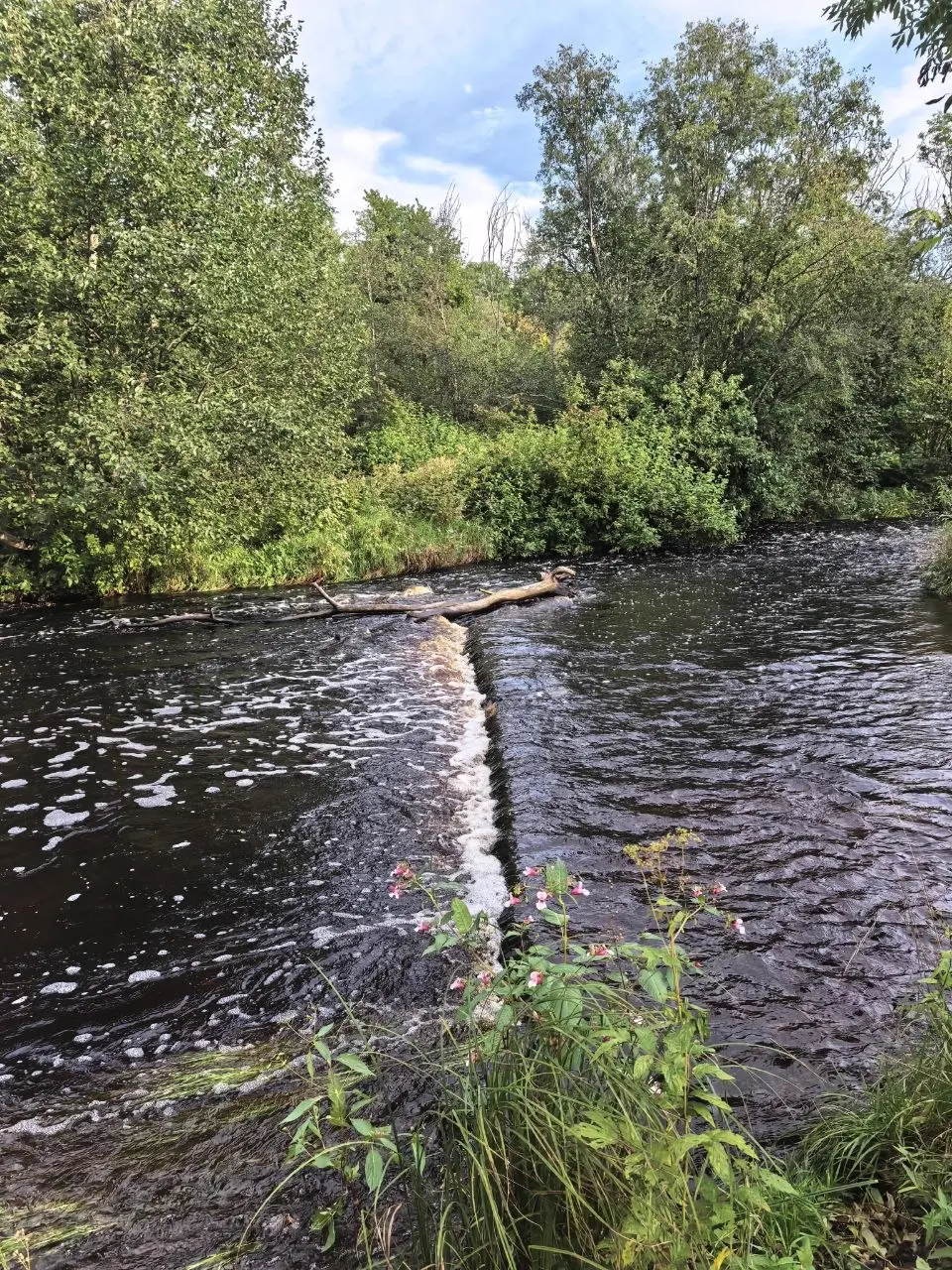
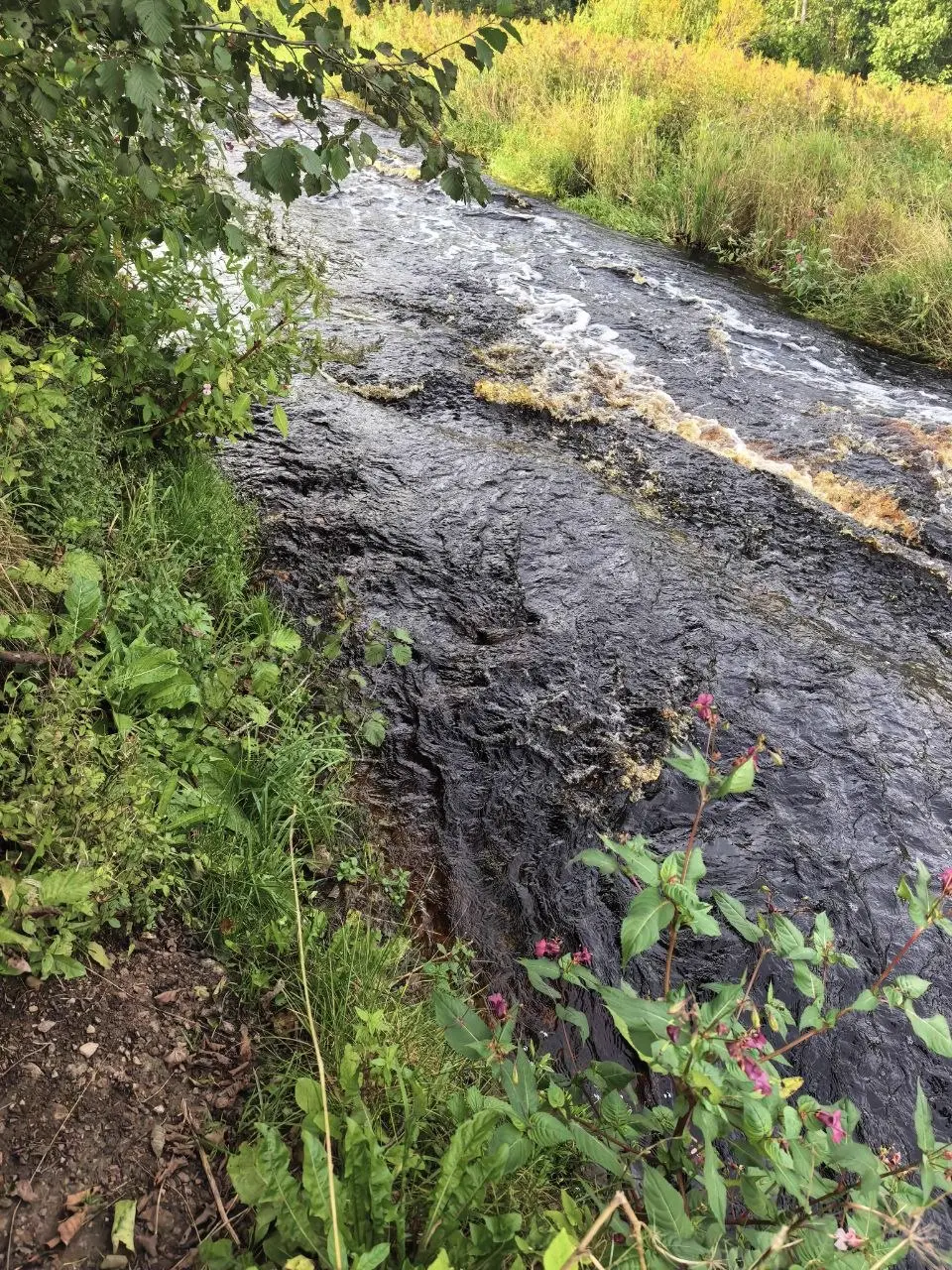
Along the way there's an old water mill, of which ruins remain, and a dam where the river breaks into white foam. The water of the Lava runs artistically over limestone steps, in places turning into a real mountain stream with small waterfalls.
Geology: 500 million years underfoot
The most surprising thing about this canyon isn't the view but the age. Here Palaeozoic-era limestones come to the surface: Cambrian and Ordovician deposits around 470–500 million years old. Back then a warm shallow sea splashed over the site of the present-day Leningrad Region, and trilobites lived on its bottom — ancient arthropods whose fossilised remains are still found in the rock strata.
Millions of years ago the entire territory where St Petersburg now stands was flooded by this sea. Only isolated elevations stuck out above the water — Koltushi and the Dudergof heights. The Lava River canyon is literally the bottom of an ancient sea, uplifted and cut through by the river. For those interested in geology, this place is a textbook under the open sky.
And yes, there are information boards here, including about trilobites. Collecting fossils, by the way, is prohibited — the territory has the status of a specially protected natural area (a natural monument since 1976), and "prehistoric souvenirs" are best left in place. Photographs only.
Plants that need calcium
Flora is a separate topic. Plants that need calcium grow on the limestones: cross gentian with blue-violet flowers, corydalis, tall primrose, Robert's oak fern. And the most noticeable find is the lady's slipper, a rare orchid listed in the Red Book.
The beautiful violet and blue flowers along the trail are precisely calciphiles, plants that need calcium-rich rock. The canyon is an ideal environment for them.
Route map
Route: Zhikharevo station (Naziya) → ~4 km north → Lava River canyon.
Practicalities
A couple of things worth knowing. Grayling, vimba and lamprey spawn in the river's rapids — fish sensitive to water purity. Adders live in the canyon, so it's better to watch your step. And it's not worth approaching the very edge of the cliff in the rain: limestone is slippery.
The route is best done in the warm season, from spring to autumn. In dry weather the trail is comfortable; in rain it's slippery in places near the water's edge.
Photos from the trip
All the shots from the route are in a separate gallery.
View all photos →
Frequently asked questions
By Lastochka train from Ladozhsky station to Zhikharevo station (in the settlement of Naziya), then about 4 km by bicycle or on foot north.
The route is linear, 3.5 km one way. Round trip will be about 7 km. It's equipped with wooden stairs and signposts.
No. The territory is a natural monument; collecting trilobites and other fossils is prohibited. You can only photograph them.
From spring to autumn. Especially good from June to August. In rain the trail by the water is slippery.
Related
- The settlement of Naziya — a tidy settlement by the station — the starting point of the route
- The Lava River — a mountain river, canyon, geology and trilobites
- The eco-trail — an equipped 3.5 km route with stairs and viewpoints
- How to get there — train to Zhikharevo, then 4 km
- Bike route — a bike trip from the station through the forest to the canyon
- Where to go for a weekend from St Petersburg — an overview of weekend routes from Petersburg
- Photos from the trip — all the shots from the trip — 23 photos
Frequently asked questions
How do I get to the Lava River canyon?
By Lastochka train from Ladozhsky station to Zhikharevo station (in the settlement of Naziya), then about 4 km by bicycle or on foot north.
How long is the walk along the eco-trail?
The route is linear, 3.5 km one way. Round trip will be about 7 km. It's equipped with wooden stairs and signposts.
Can I collect fossils?
No. The territory is a natural monument; collecting trilobites and other fossils is prohibited. You can only photograph them.
When is the best time to go?
From spring to autumn. Especially good from June to August. In rain the trail by the water is slippery.